
xxx,xxx,xxx,xxx
METRIC TONS OF CO2
EQUIVALENT TO
SCRUBBING FROM THE AIR THE ANNUAL
CO2 EMISSIONS FROM xxx.xxx,xxx,xxx VEHICLES
32,000 Ft. Above Ground
National Agriculture Inventory Program (NAIP) image from Google Earth.
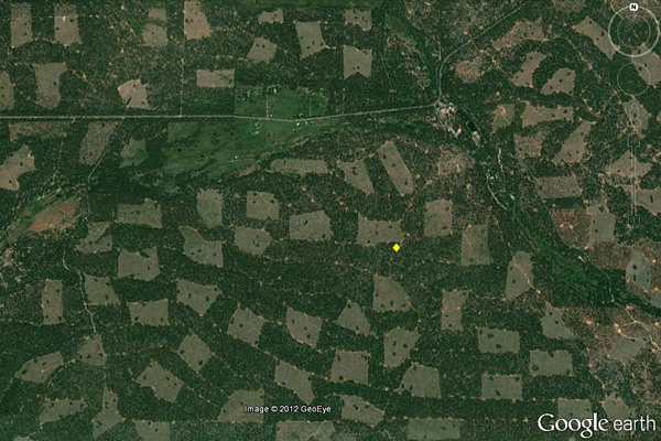 The yellow diamond is placed in approximately the same location on each photo.
4,500 Ft. Above Ground
SPI image from helicopter.
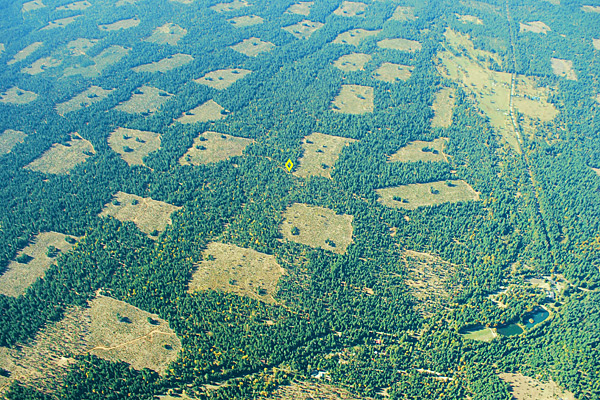 The yellow diamond is placed in approximately the same location on each photo.
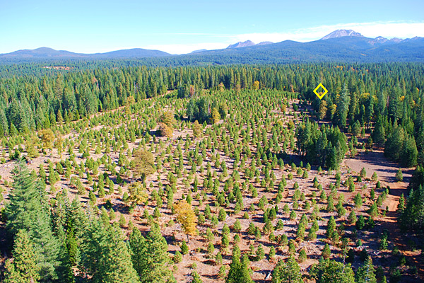
3,500 Ft. Above Ground
SPI image from helicopter – habitat retention islands trees in groups are more visible.
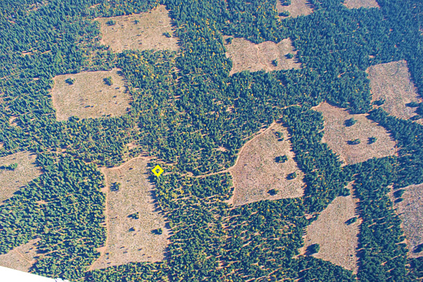 The yellow diamond is placed in approximately the same location on each photo.
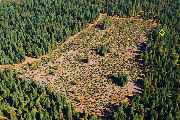
2,500 Ft. Above Ground
SPI image from helicopter - individual trees are becoming visible.
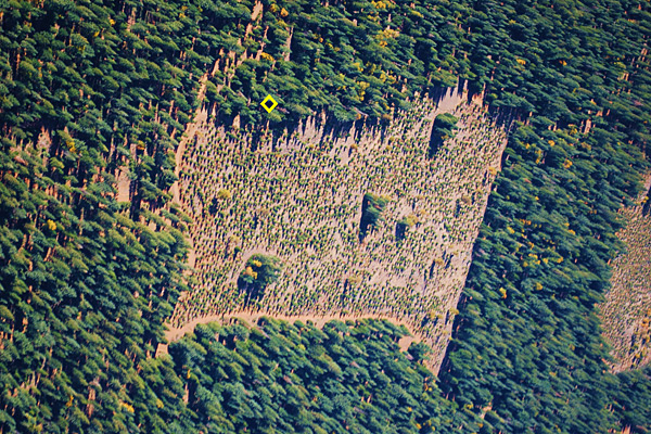 The yellow diamond is placed in approximately the same location on each photo.
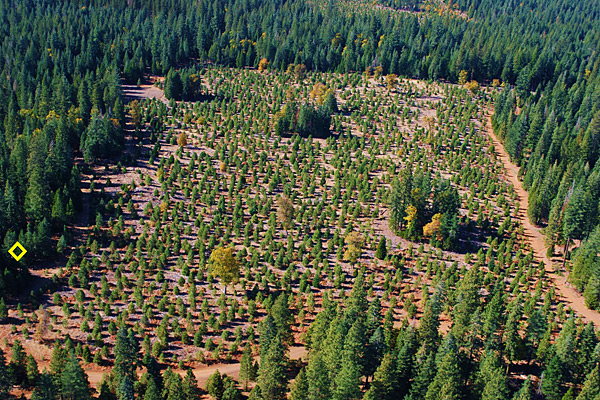
1,500 Ft. Above Ground
SPI image from helicopter – individual planted trees and trees in retention islands now visible.
 The yellow diamond is placed in approximately the same location on each photo.
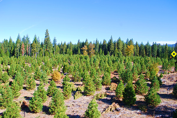
1,000 Ft. Above Ground
SPI image from helicopter - individual trees and fall colors on the deciduous black oak trees becomes visible.
 The yellow diamond is placed in approximately the same location on each photo.
350 Ft. Above Ground
SPI image from helicopter - height of planted trees becomes discernible because of shadows cast.
 The yellow diamond is placed in approximately the same location on each photo.
50 Ft. Above Ground
SPI image from helicopter - species composition becomes discernible and evidence of recent pre-commercial thinning is visible.
 The yellow diamond is placed in approximately the same location on each photo.
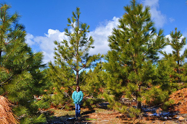
Ground Level
SPI ground image - showing planted trees (10 years), deciduous black oak retention and new snag recruitment in the retention island.
 On the ground.
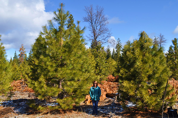
Ground Level
SPI ground image - showing planted tree diversity, Ponderosa Pine behind forest visitor.
 On the ground.